Prince Enrique’s Way
Algarve, Portugal
Via do Infante Toll RoadPast Cape St. Vincent, the Atlantic loses momentum. The cliffs give way to long, white beaches and wetlands where sea and land meet peacefully, without sharp rocks and waves. The immense ocean begins to wind down the path to the Strait a little more calmly.
By land, though not too far from the coast, another path follows in its footsteps. This black asphalt road with piers and decks crosses the thousand and one marshes scattered along the coast of Portugal’s Algarve region. From Lagos, the first city you reach after the cape, passing through Sagres and Vila Real de Santo António, the town where Portugal ends on the Guadiana’s banks, the Vía do Infante highway connects the entire southern region, never losing sight of the ocean. The highway is managed by Cintra.
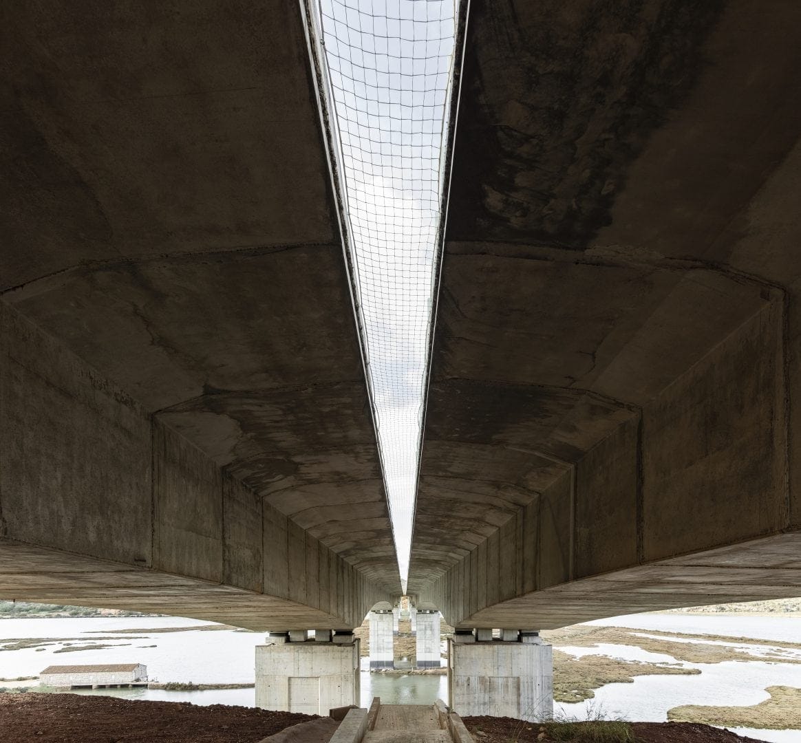
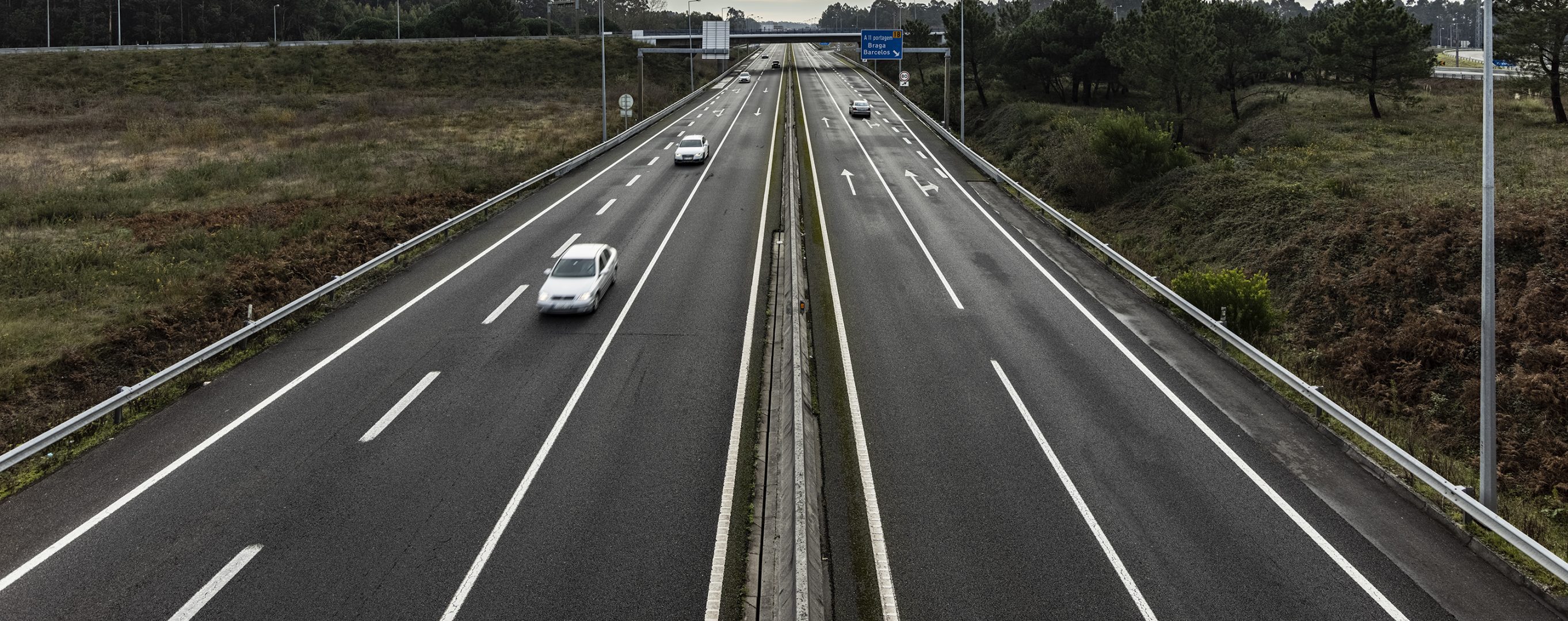
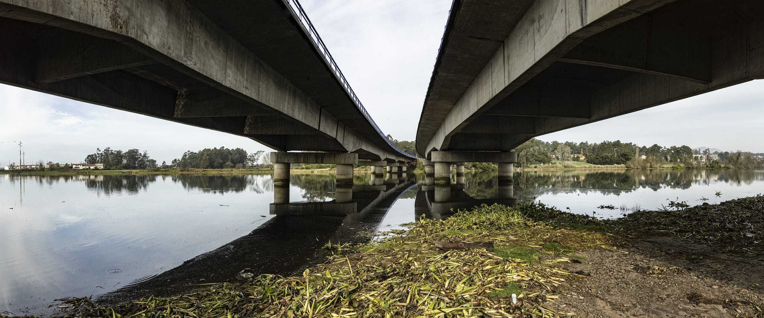
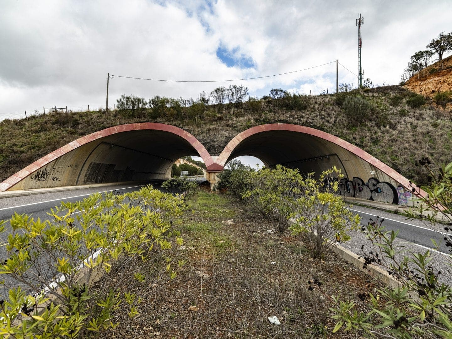
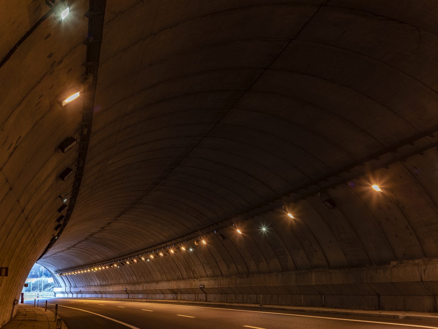
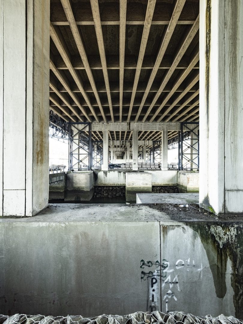
Over almost 130 kilometers, the road connects the Algarve region, and it also connects the cities of Portimâo, Loulé, Faro, and Tavira. Today, it is the fastest, safest way around the area, thanks to a route that bypasses obstacles in the landscape with several tunnels and a dozen bridges. The highway is managed by Cintra, and its feats of engineering couldn’t bear any name other than Portugal’s scientific legend.
Nobody knows if the School of Sagres, established by Prince Enrique at the tip of Cape St. Vincent during the first half of the 15th century, actually existed. Some say that it was one of Europe’s great scientific centers at the end of the Middle Ages. Others say that it is little more than a myth that has grown over time, given that there is no hard proof of its existence.
Beyond the names, this highway reminds us that it doesn’t matter who or where: knowledge grows and accumulates past all barriers. It helped us to chart the Atlantic five centuries ago. Today, it helps us track the ocean without leaving dry land, as on Portugal’s humid coast.